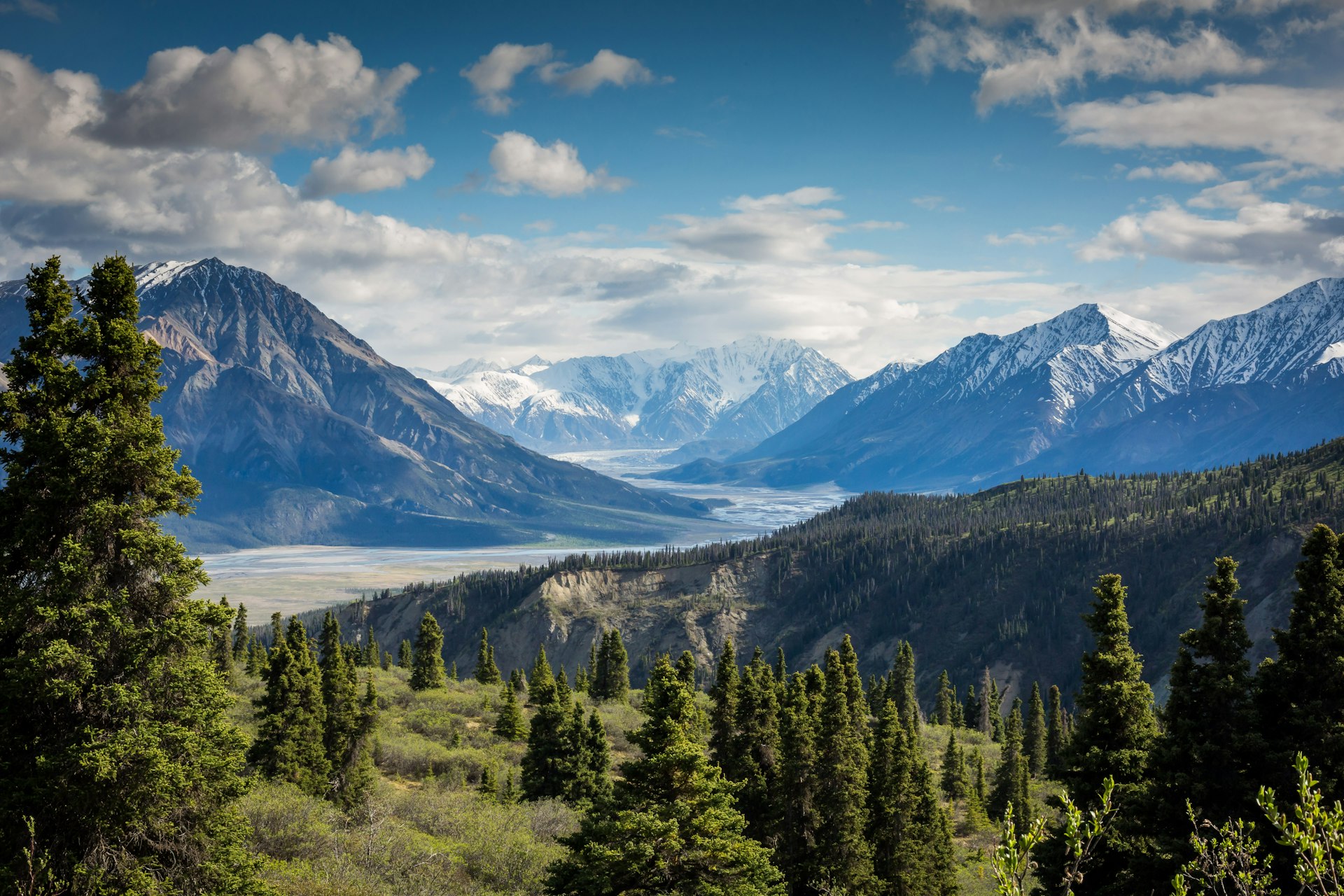
Long-distance trekking ridges on the Kyrgyz Nomad Trail
Long-distance · Central Asia

Kyrgyz Nomad Trail

18 sections, 2,000+ kilometres, and community-linked jailoo walking—sample Tash Rabat, Arslanbob, Karakol, or Jyrgalan rather than assuming a single thru-hike.

Total distance

2,000+ km

Sections

18 (16 + 2 alt.)

Core season

June–September

Communities

50+ linked

Why this trail

KNT as a planning hub

Official maps, first-timer sections, and June–September realism—not a single marked thru-path.

The Kyrgyz Nomad Trail is a 2,000+ km network across 18 sections—16 main routes plus 2 alternatives—launched in June 2024 and profiled by National Geographic as Central Asia's longest community-linked hiking corridor. It connects walnut forests, caravanserais, Ala-Kul ridgelines, and jailoo homestays rather than one continuous marked artery—download GPX from the official site, then confirm water, camping etiquette, and pass status with CBT offices the month you travel.

Core season runs June through September—wildflowers and pass access peak midsummer; border sections need permit lead time. Trail development partners including Plateau Perspectives and expansion coverage from the FAO Mountain Partnership document southwest growth toward Batken and Osh—sample one or two sections that match your fitness instead of treating KNT as a single summer project.

On the ground

Sections worth sampling

First-timer favourites, resupply towns, and advanced border legs.

Planning · Pre-trip · Free maps

Official trail hub & GPX downloads

The Kyrgyz Nomad Trail (KNT) launched in June 2024 as Central Asia's longest hiking network—official GPX tracks, section descriptions, and community contacts live at kyrgyznomadtrail.com. Download tracks before you leave Bishkek; carry paper backup because phone batteries die fast at altitude. Treat the site as the authoritative source when blog posts disagree on distances or pass status.

Section · 3–4 days · $35–55/day guided

Tash Rabat — Section 8 (first-timer)

At 45 km, Tash Rabat is the shortest main section and among the easiest—gentle valley walking plus the reward of a 15th-century Silk Road caravanserai. Ideal standalone intro to KNT pacing without committing to a thru-hike. Arrange transport from Naryn; combine with Song-Kul only if you budget separate nights—stacking both from one hub night breaks itineraries.

Section · 3–5 days · $25–45/day

Arslanbob — Section 5 (first-timer)

Lower altitude, walnut forest immersion, waterfalls, and excellent CBT homestays make Arslanbob the most culturally accessible KNT sample. Seventy-two kilometres of forest and foothill walking suit hikers who want meals in village homes rather than multi-day food carries. September harvest season adds festival atmosphere—book homestays early.

Section · 5–7 days · $35–55/day

Karakol & Ala-Kul — Section 13

Section 13 threads toward Karakol and the famous Ala-Kul alpine lake near 3,532 m—well-established CBT infrastructure, gear shops, and rest-day restaurants after remote legs. Heavy August foot traffic on Ala-Kul overlaps with KNT hikers; book guides and yurts ahead. Resupply in town before pushing east toward Jyrgalan.

Section · 3–5 days · $30–50/day

Jyrgalan — Section 14

Seventy-two kilometres through the emerging adventure valley—marked routes, homestay hospitality, and Boz-Uchuk lake options without Jeti-Oguz crowds. Minimal phone signal; offline maps mandatory. The local DMO at jyrgalan.com publishes seasonal advisories. Winter ski-touring sections exist but June–September is the core hiking window.

Section · Multi-day · $40–60/day

Song-Kul & Naryn corridor sections

Naryn River (Section 11) and Arabel plateau (Section 12) stages cross high jailoo country—horse support common, weather windows narrow. Kochkor and Naryn CBT offices arrange guides, yurts, and jeep links. Altitude and afternoon storms punish rushed pacing; sleep low before high passes and carry cash for remote homestays.

Section · 4–6 days · $30–50/day

Sary Chelek biosphere — Section 3

One hundred three kilometres through UNESCO biosphere reserve forests and alpine lake shorelines—permits and rough Arkyt approaches need planning through CBT Jalal-Abad. Lower sections pair with Arslanbob west-hub staging; do not stack reserve legs the same day you arrive exhausted from Bishkek.

Advanced · 7–14+ days · Permits $15–50

Border-zone & expert finale sections

Sary Jazz (Section 15) and Engilchek glacier (Section 16) approach restricted border terrain and expert-grade remoteness—permits need one to three weeks through registered agencies. Fergana Range (Section 7) is the longest main section at 204 km. Independent hiking is possible on marked central sections; hire guides for frontier zones and glacier approaches.

Sample pacing

One section vs multi-section trips

Three to seven days per section; buffer weather and permits.

One section (3–5 days): Tash Rabat or Arslanbob as standalone KNT taste with strong homestay support.

Two sections (10–14 days): Karakol Section 13 into Jyrgalan Section 14—resupply in town between valley legs.

Advanced blocks: Fergana Range, Engilchek, or Sary Jazz only with guides, permits, and carry food—June–September weather windows still close fast after storms.

Practical answers

Kyrgyz Nomad Trail FAQ

What is the Kyrgyz Nomad Trail?
A 2,000+ km long-distance trail network launched in June 2024—18 sections (16 main plus 2 alternatives) linking jailoo culture, caravanserai corridors, and high pastures across Jalal-Abad, Naryn, and Issyk-Kul oblasts. It connects 50+ communities and passes through 12+ protected areas. Expansion toward Batken and Osh is underway.
When is KNT hiking season?
June through September is the practical window for most hikers—wildflowers and pass access peak July–August. Lower sections like Arslanbob and Toktogul can start in late June; high passes may hold snow into early July. Plan border-zone sections only after confirming pass openings locally.
Do I need to hike all 18 sections?
No—almost everyone samples one to three sections matched to fitness and calendar. Tash Rabat, Arslanbob, and Karakol/Ala-Kul are common first-timer choices with strong CBT support. Thru-hiking the full network is a specialist undertaking requiring months and resupply planning.
Where do I download official maps?
GPX tracks and section PDFs are published at kyrgyznomadtrail.com. Supplement with Maps.me or Gaia GPS but always carry paper backups. Ask CBT offices which on-ground markers still stand—storm damage shifts routes faster than websites update.
Do I need permits on the Nomad Trail?
Most central and western sections need no special permits. Border-adjacent sections near China, Tajikistan, Kazakhstan, and Uzbekistan—notably Sary Jazz and Engilchek—require frontier permits ($15–50, one to three weeks processing). Start agency paperwork before you book flights.
What did National Geographic write about KNT?
National Geographic Travel profiled the trail as a new way to experience nomadic culture on foot—linking community homestays with dramatic Tian Shan scenery. Use their feature for inspiration but verify distances, seasons, and permit rules on the official site the year you travel.
How much does hiking KNT cost per day?
Budget independent hikers often spend $20–35 per day on homestays and food in connected sections. Guided travel with horses runs $35–65 per day depending on remoteness. Remote Fergana Range or Engilchek legs cost more when porters, permits, and carry food are required.